Charting Scotland's Soul: Edinburgh's Pioneering Cartographers Who Drew the Nation's Destiny
The story of Edinburgh cannot be told without understanding how its image was literally drawn into existence. From crude medieval sketches to sophisticated Georgian surveys, the city's cartographers created more than mere maps—they fashioned visual arguments about power, progress, and Scotland's place within Britain.
The Medieval Eye: Edinburgh's First Visual Identity
Our cartographic journey begins in the closes and wynds of the Old Town, where the earliest surviving map of Edinburgh was born. The Braun and Hogenberg bird's-eye view of 1582, though produced by Flemish cartographers, established visual conventions that would influence depictions of Edinburgh for centuries.
Walking Route Start: Begin at Edinburgh Castle Esplanade, where the medieval cartographers positioned their imaginary viewpoint.
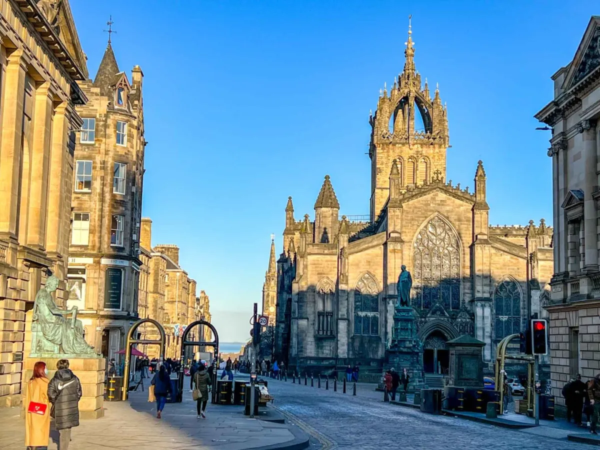 Photo: Edinburgh Castle, via thewanderingquinn.com
This early map reveals as much through its omissions as its inclusions. The crowded tenements of the Grassmarket appear neat and orderly, whilst the notorious Cowgate—already a byword for poverty and disease—is barely acknowledged. Such selective representation wasn't accidental; these maps served as promotional tools for a city eager to attract foreign investment and political favour.
The medieval mapmakers faced a fundamental challenge: how to represent Edinburgh's unique topography. The city's dramatic elevation changes, from the Castle Rock to the Nor Loch, defied conventional cartographic techniques. Their solution—an exaggerated vertical perspective—created the iconic image of Edinburgh as a fortress city perched impossibly high above its surroundings.
Walking Point: Pause at the Camera Obscura building on Castlehill. This location offers a modern perspective similar to those early cartographic viewpoints.
The Age of Accuracy: Georgian Precision and Political Purpose
Descending the Royal Mile towards Holyroodhouse, we encounter the legacy of Edinburgh's most consequential cartographic period. The 18th and early 19th centuries saw the production of maps that would literally reshape the city's future.
Walking Route: Follow the Royal Mile from St Giles' Cathedral to the Canongate Kirk.
James Craig's 1767 plan for the New Town represents cartography as civic revolution. Craig, winner of the competition to design Edinburgh's northern expansion, created more than a street layout—he drew a manifesto for Scottish enlightenment values. His geometric precision, classical street names, and emphasis on open spaces challenged the medieval chaos of the Old Town.
 Photo: James Craig, via us-fbcloud.net
The political implications were profound. Craig's map depicted an Edinburgh worthy of comparison with London or Paris, supporting Scottish arguments for equal treatment within the Union. The New Town's realisation proved that Scotland could match any European capital for urban sophistication.
Walking Point: Stop at the John Knox House on the Royal Mile. From here, look north towards Princes Street, visualising Craig's revolutionary grid overlaid on the medieval landscape.
Military Cartography: Maps as Instruments of Control
Continuing down the Canongate towards Holyrood, we encounter evidence of cartography's darker purposes. The Ordnance Survey's detailed mapping of Edinburgh, begun in the 1840s, emerged from military necessity following the Jacobite uprisings.
Walking Route: Turn south from the Canongate into the Cowgate, following this ancient route that early maps often minimised or ignored.
These military surveys achieved unprecedented accuracy, but their motivations were explicitly political. The British government required detailed knowledge of Scottish terrain to prevent future rebellions. The maps' clinical precision masked their function as tools of surveillance and control.
The Ordnance Survey maps reveal fascinating details about Edinburgh's social geography. Working-class areas are mapped with the same precision as fashionable districts, but the accompanying descriptions often reflect middle-class prejudices about urban poverty and social disorder.
Walking Point: Emerge from the Cowgate at the Grassmarket. This area, consistently marginalised in early maps, became accurately documented only when military authorities required comprehensive urban intelligence.
The Romantic Revolution: Edinburgh as Gothic Landscape
Our final cartographic chapter unfolds in the atmospheric closes and wynds surrounding the Grassmarket. The early 19th century saw Edinburgh's mapmakers embrace Romantic sensibilities, depicting the city as a landscape of sublime drama and historical mystery.
Walking Route: Climb from the Grassmarket through Victoria Street to the George IV Bridge, following routes that Romantic-era cartographers emphasised for their picturesque qualities.
These maps coincided with Walter Scott's literary celebration of Scottish history, creating visual narratives that emphasised Edinburgh's medieval character whilst downplaying its industrial modernity. The cartographers of this period understood that maps could function as tourist advertisements, drawing visitors seeking authentic Scottish experience.
The influence of Romantic cartography extended far beyond tourism. These maps helped establish Edinburgh's identity as Scotland's ancient capital, a city where history remained visibly present in stone and street layout. This visual narrative proved remarkably durable, influencing urban planning decisions well into the 20th century.
Walking Point: Pause on George IV Bridge, looking back towards the Castle. This viewpoint, popularised by Romantic cartographers, became one of Edinburgh's most reproduced vistas.
Legacy in Line and Legend
Our cartographic walking tour concludes at the National Library of Scotland on George IV Bridge, where many of these historic maps are preserved. Edinburgh's early cartographers achieved something remarkable—they created visual narratives that became self-fulfilling prophecies.
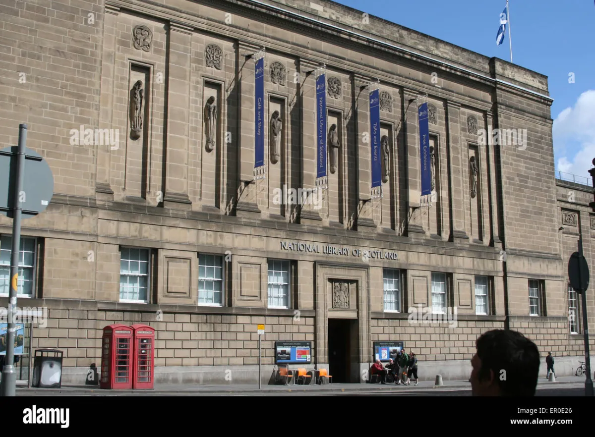 Photo: National Library of Scotland, via c8.alamy.com
Craig's New Town grid became reality because his map convinced investors of its viability. The Romantic emphasis on Edinburgh's medieval character influenced conservation efforts that preserved the Old Town for future generations. Even the military surveys, despite their controlling intentions, provided the accurate base maps that enabled modern urban planning.
Final Walking Point: Enter the National Library's Map Reading Room (by appointment) to examine original cartographic documents that shaped Edinburgh's development.
These maps remind us that cartography is never neutral. Every line drawn, every feature emphasised or omitted, reflects the mapmaker's vision of what a city should become. Edinburgh's cartographers didn't simply record reality—they drew Scotland's destiny, one careful line at a time.
Their legacy surrounds us in Edinburgh's streets today: the geometric precision of the New Town, the preserved medieval character of the Old Town, and the ongoing tension between historical preservation and modern development. Understanding their work helps us read Edinburgh itself as a vast, three-dimensional map of Scottish ambition and achievement.